Madison Area Plans – West and Northeast
Madison's new area plans have a lot of biking & walking improvements!
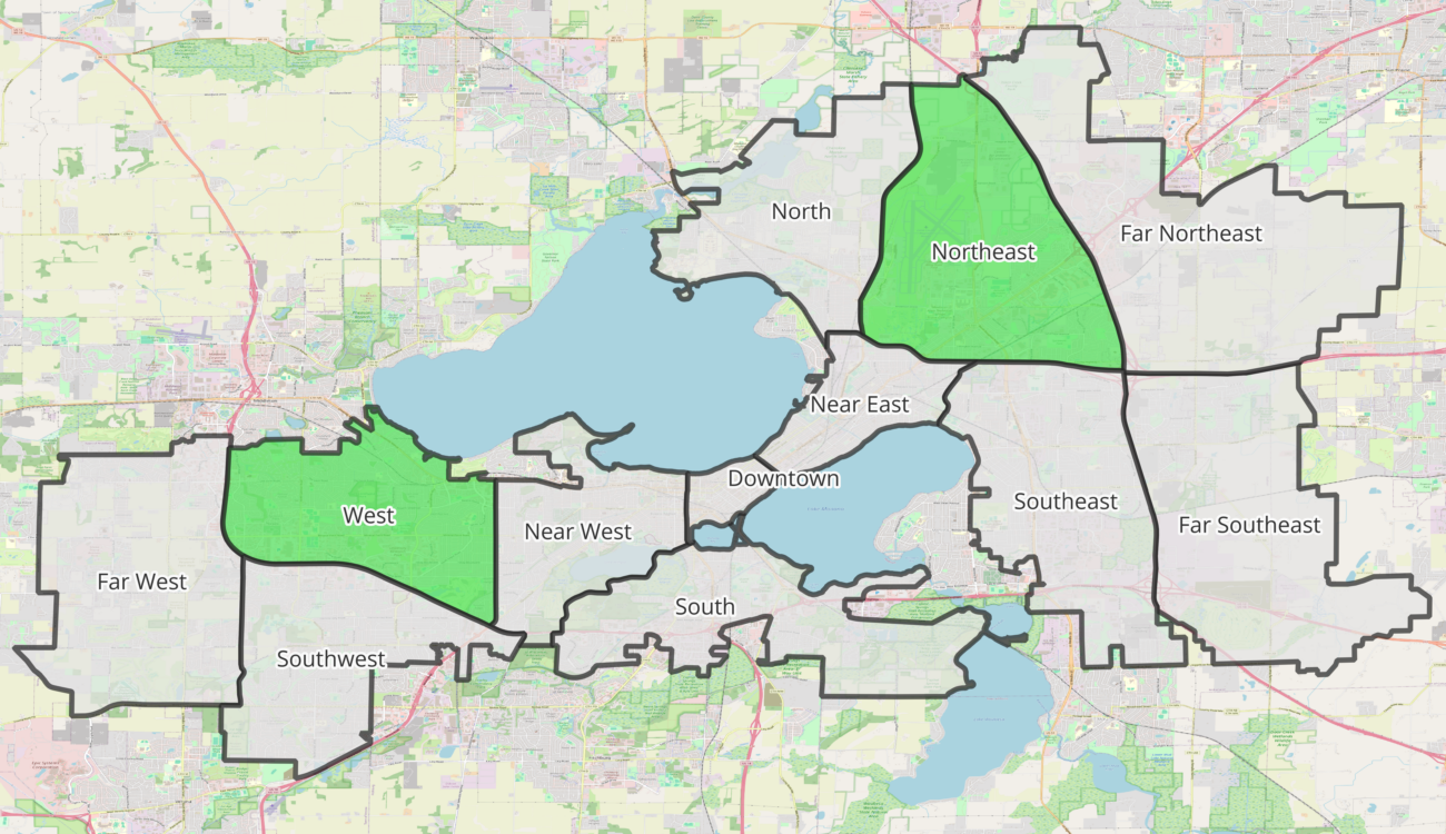
The Madison West and Northeast Area Plans have some exciting improvements for people walking and bicycling!
In order to prepare the city for the population growth that’s expected in the upcoming decades, the City of Madison is creating “area plans” to grow thoughtfully. The city has been working on new West and Northeast Area Plans since 2002 and these are the first area plans to be completed. They have a lot of great transportation infrastructure improvements included!
Update: The City of Madison Common Council unanimously adopted the West and Northeast Area Plan on September 10th, 2024!
At the Bike Fed, our programs work to help the kids walk and bike: to school, to a summer job, to their friends house. As we meet with students in different schools, we hear about the issues they face biking and walking near their school.
At Memorial High School, students have voiced that they don’t feel safe biking from the apartments west of Gammon Road to the school. They talk about how they are uncomfortable biking with the car traffic on Tree Lane and so they choose to bike on the sidewalk. This has resulted in students being reprimanded by residents for biking on the sidewalk. Although riding a bike on the sidewalk is allowed through this neighborhood, the best solution would be to build bike infrastructure that feels safe to middle and high school students and doesn’t conflict with people walking.
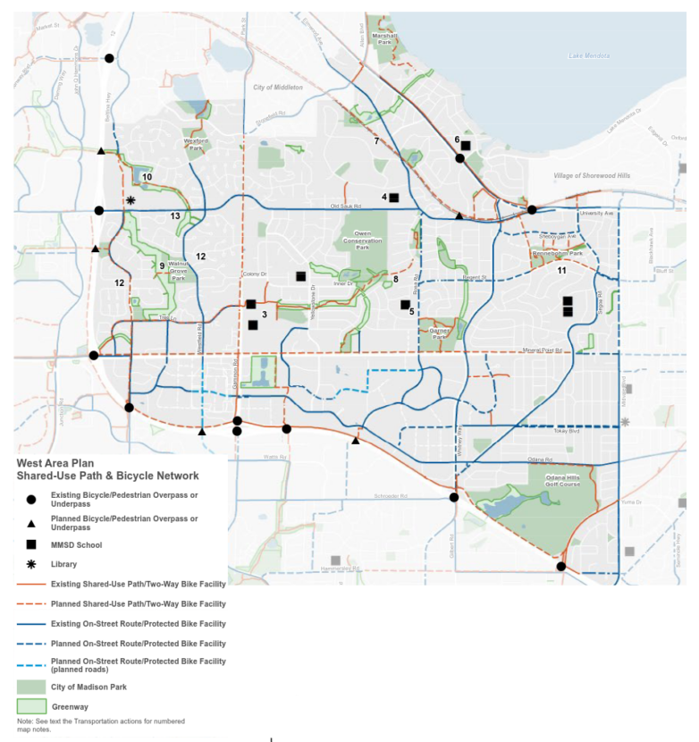
Adding a better connected network of bike paths and bike lanes (protected by bollards or curbs) throughout the area west of Gammon Rd would help tremendously for students trying to bike or walk to school and the community center. This is exactly what the West Area Plan is proposing!
For East-West travel, a bike path across the Sauk Creek Greenway and a protected bike lane on Tree Lane will be huge improvements. Similarly, protected bike lanes on Westfield and High Point roads will help with North-South travel. These improvements will also reduce the traffic around the schools as more students will be able to walk and bike to school.

The most contentious part of the plan has been the proposed bike path through the Sauk Creek Greenway. Madison Bikes member Craig Weinhold wrote up a summary of the discussion. Because of pushback, the city removed the proposed North-South bike path in the Sauk Creek Greenway (while keeping the East-West path) from the final draft. While we disagree with a lot of the criticism of the bike path, the compromise that the city arrived at (improving the surrounding streets instead) seems reasonable.
We’ve heard residents voice environmental concerns about these bike paths, because the bike paths will pave over green space and take down some trees. Climate models indicate that 1 person reducing their car use by 10% is the carbon equivalent of 12 mature trees. These bike lanes and paths will allow for hundreds of families to choose non-car transportation options for some of their trips and have a far greater carbon impact than the tree removal will. And we have confidence in the engineers at the city who will optimize the bike path to reduce its impact on mature, native trees.
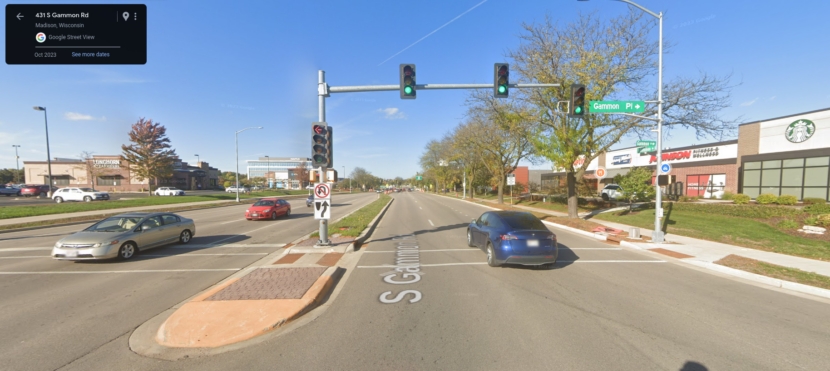
As we’ve written about previously, Gammon Road continues to be a barrier to walking and biking to the schools, Lussier Community Education Center, and West Towne Mall. There are a concentration of bike and pedestrian crashes involving kids near the schools and the mall on Gammon Rd. The West Area Plan includes reducing the number of lanes on Gammon north of the schools, and this will help, but it would be ideal to extend those lane reductions further south to the West Towne Mall, or at least to Mineral Point Road.

Connecting the neighborhood with protected bike lanes, a bike path across the Sauk Creek Greenway, and a lane reduction on Gammon Road will help students, their families, the environment, and traffic congestion.
Additionally, the best way to improve the comfort of walking and biking, is to reduce the distance that people need to travel from their home to where they want to go. Mixed use development (where restaurants, shops, and businesses are intermixed with housing) is the great way to make a neighborhood more walkable and bikeable. The city is proposing more mixed use developments with both the West Area and Northeast Area Plans!
The plans are going before the Planning Commission on August 26th and the Common Council on September 10th and they need our support. Please join us in supporting the West and Northeast Area Plans by writing to your Alder or the whole Common Council.