Tour de Nicolet
Bikepacking boulders, gravel and singletrack from Wausau to Watersmeet
This route was developed by Shane Hitz, who maintains the North Central Wisconsin Gravel and Bikepacking Facebook page. Shane was bitten by the bikepacking bug after going on one of the first organized Tour de Chequamegon trips. Since then, he has been developing routes closer to his home turf of Wausau.
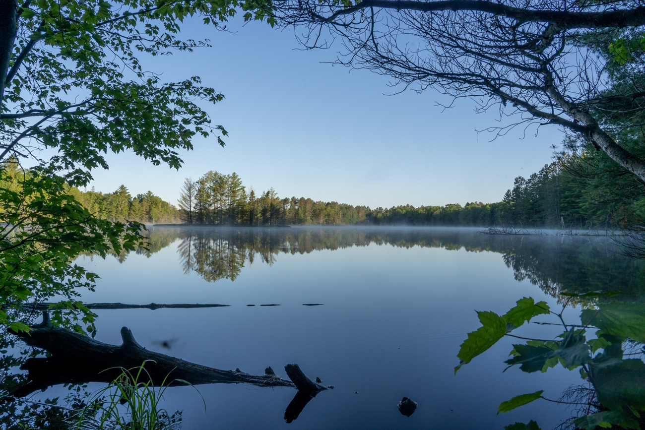
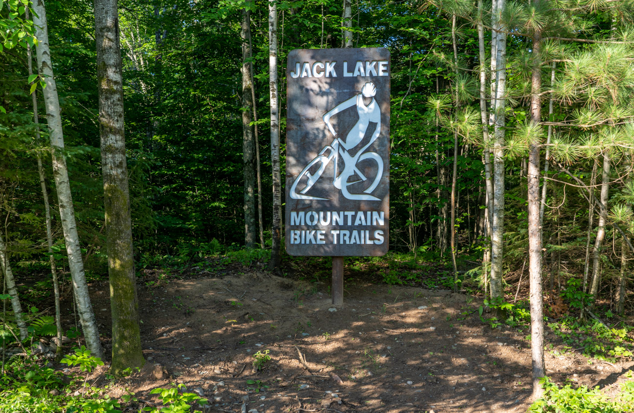
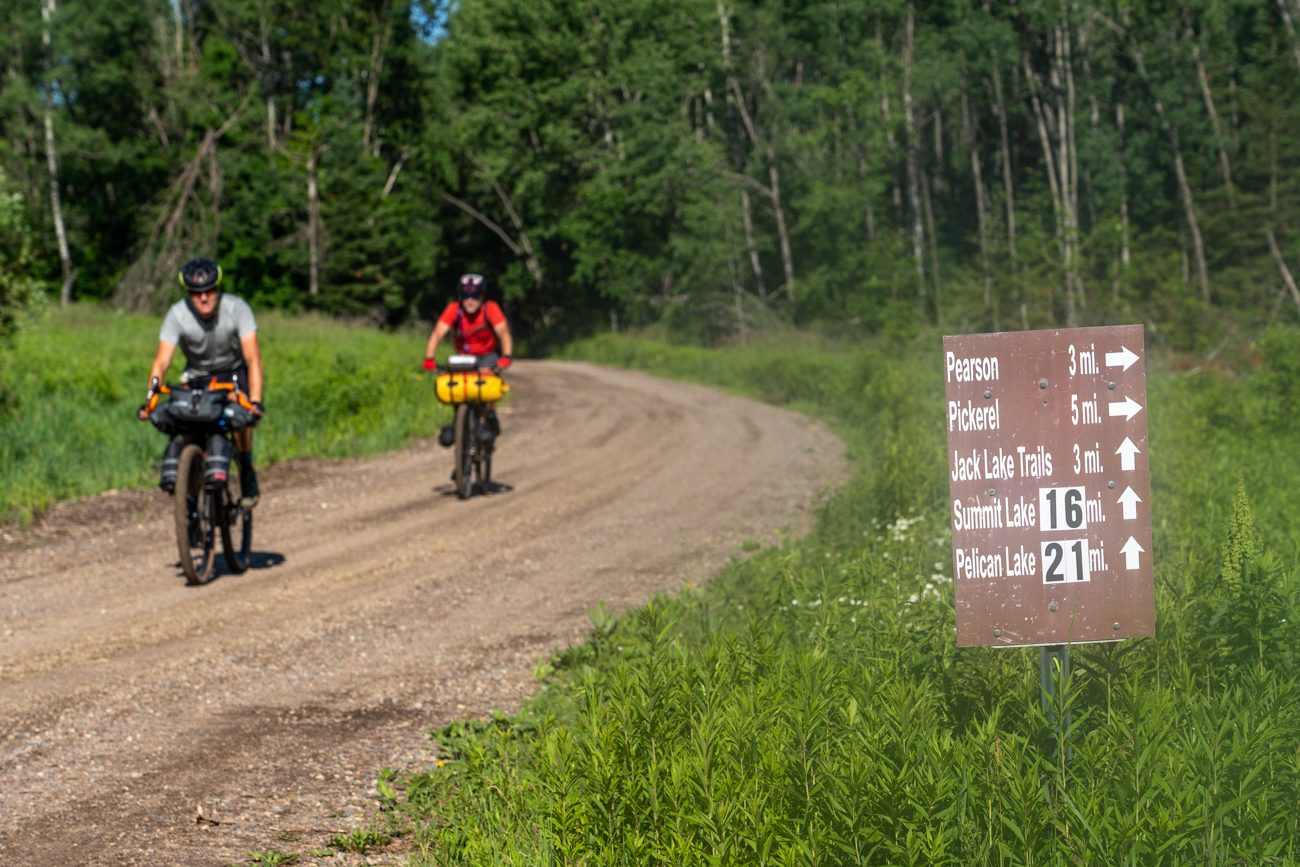
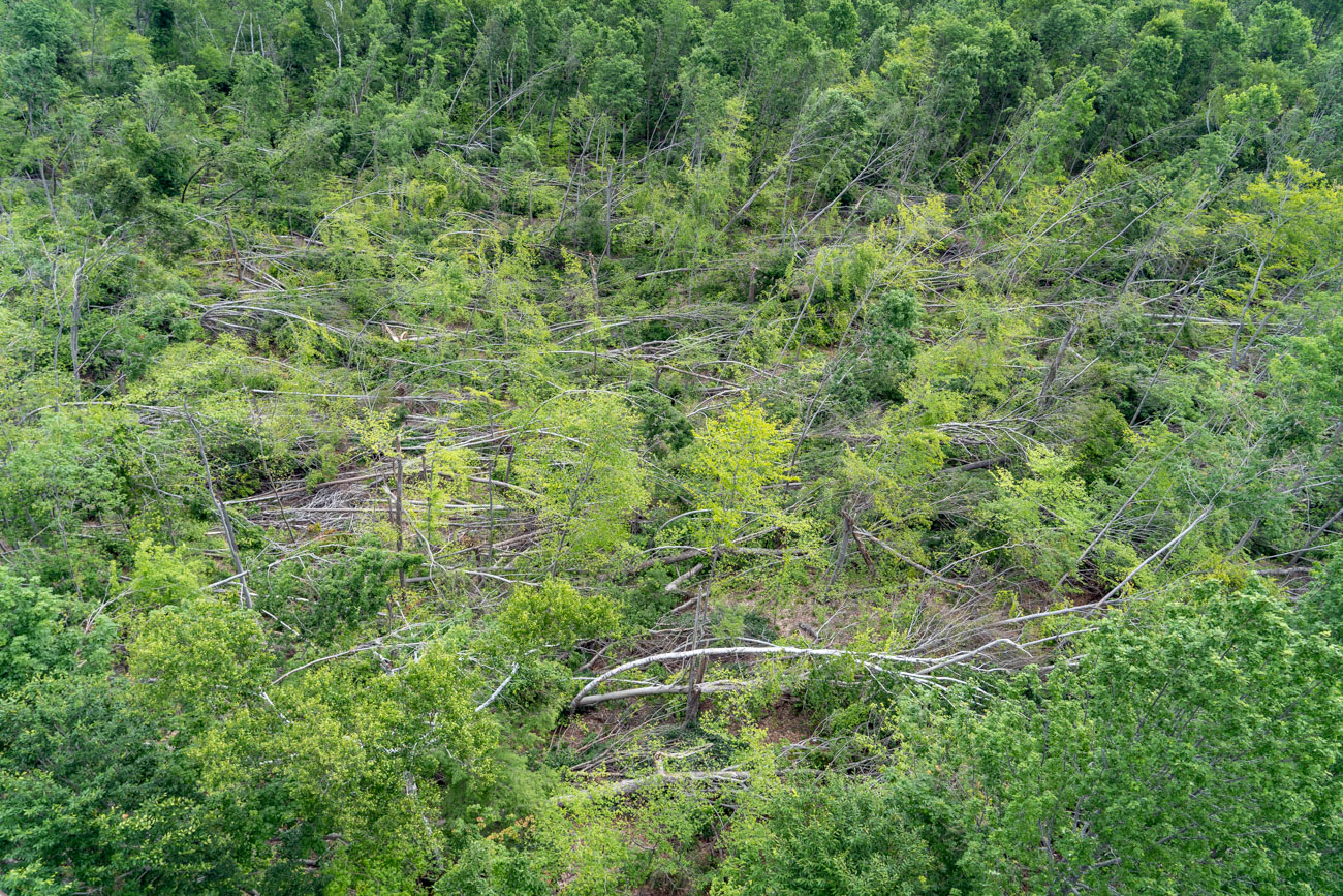
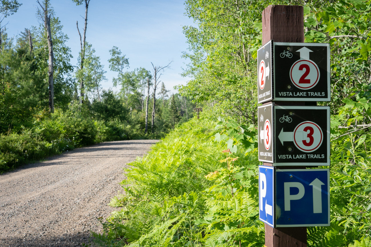
Thanks to the last glacial period 12,000 to 15,000 years ago, the 1.5 million acre Chequamegon-Nicolet National Forest in northern Wisconsin is a bikepacker’s dream. A network of beautiful rolling gravel forest roads, rough two-track and well-maintained mountain bike trails pass by thousands of small lakes and streams. This route through the Lakewood-Laona and Eagle River-Florence Ranger districts includes some fun, intermediate single track at the Jake Lake and Nicolet Roche Mountain Bike Trails. Roche is french for boulder, and the forest is littered with big erratics left behind when the glaciers receded.
CLICK TO READ OUR SIDEBAR STORY:
Pandemic Precautions While Bikepacking in Northern Wisconsin
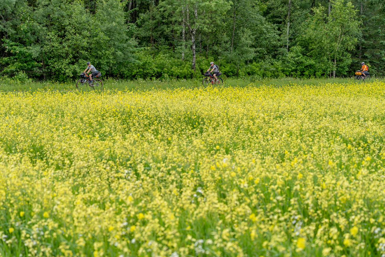
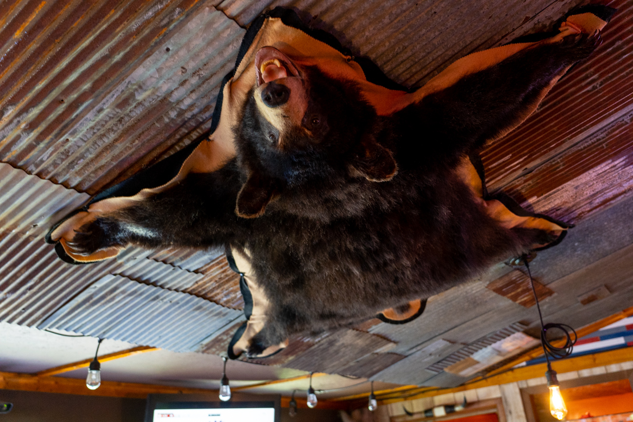
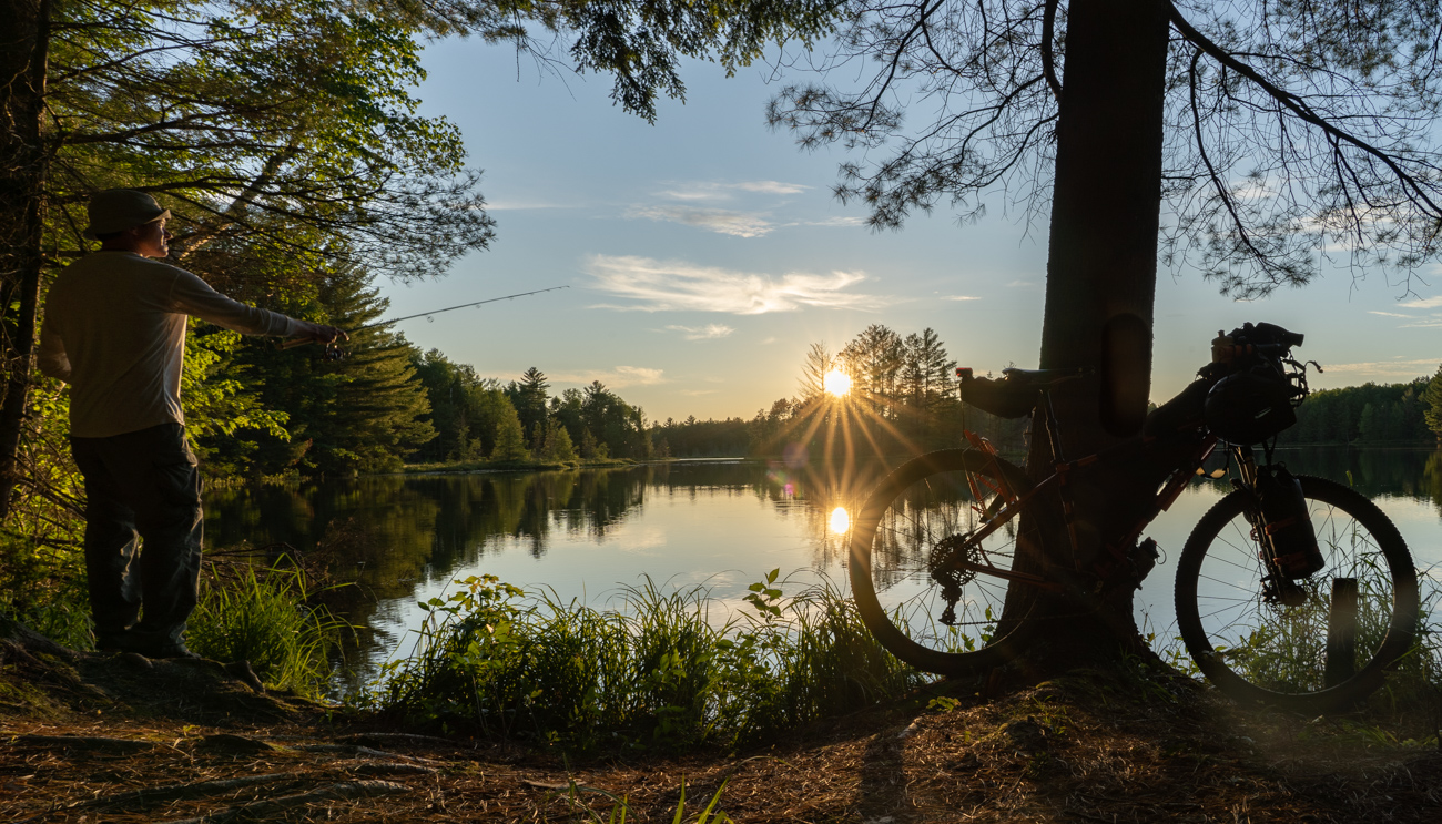
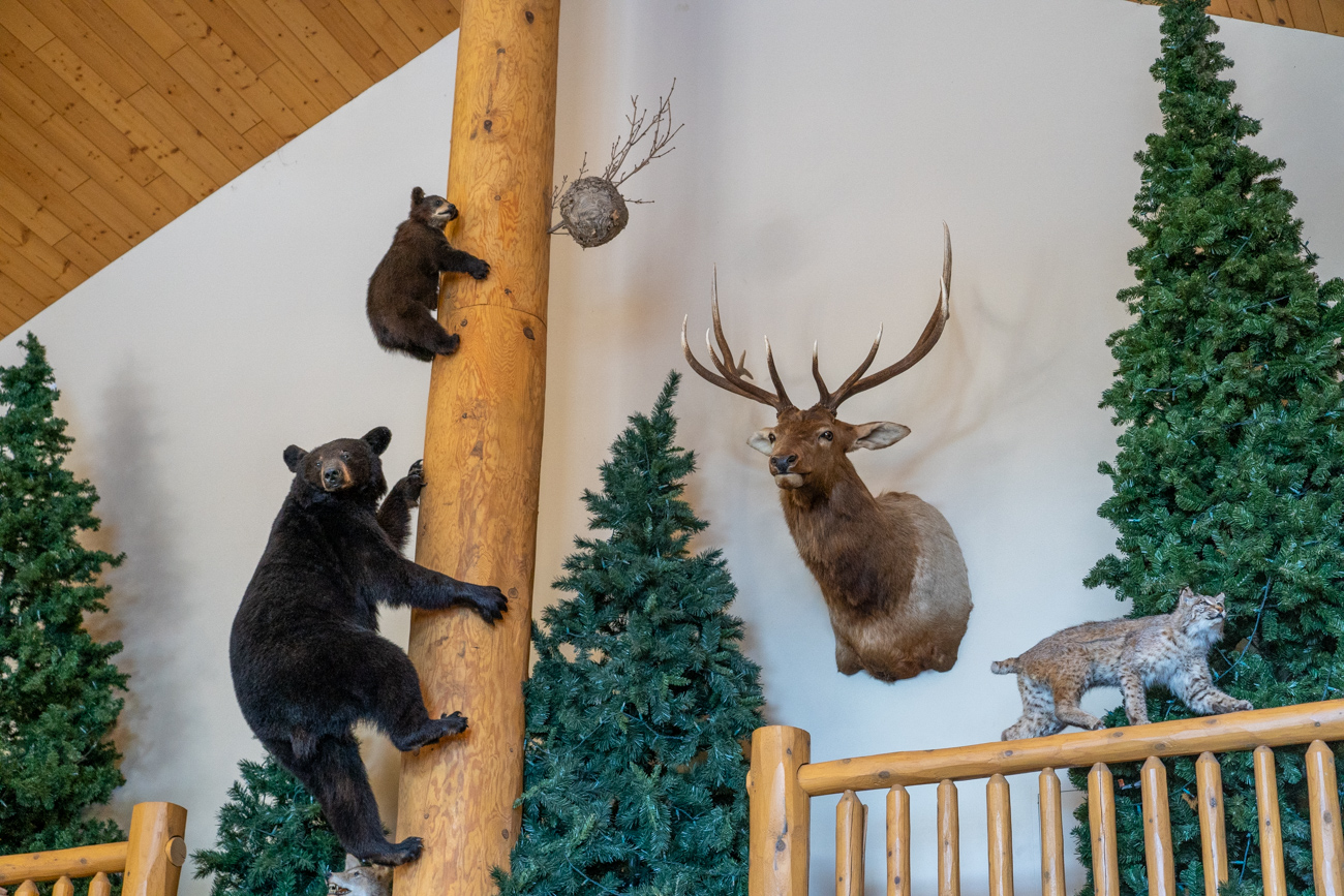
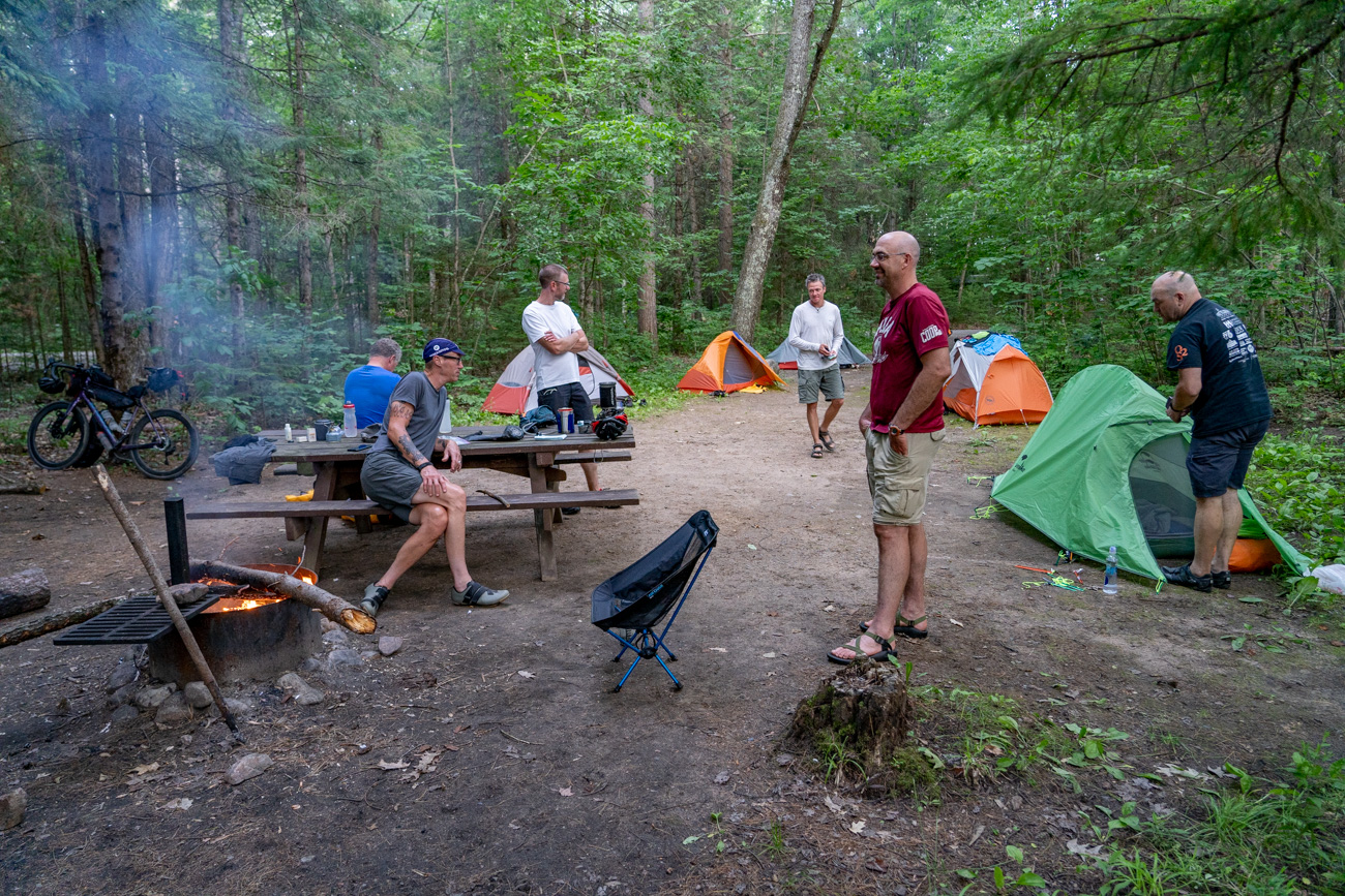
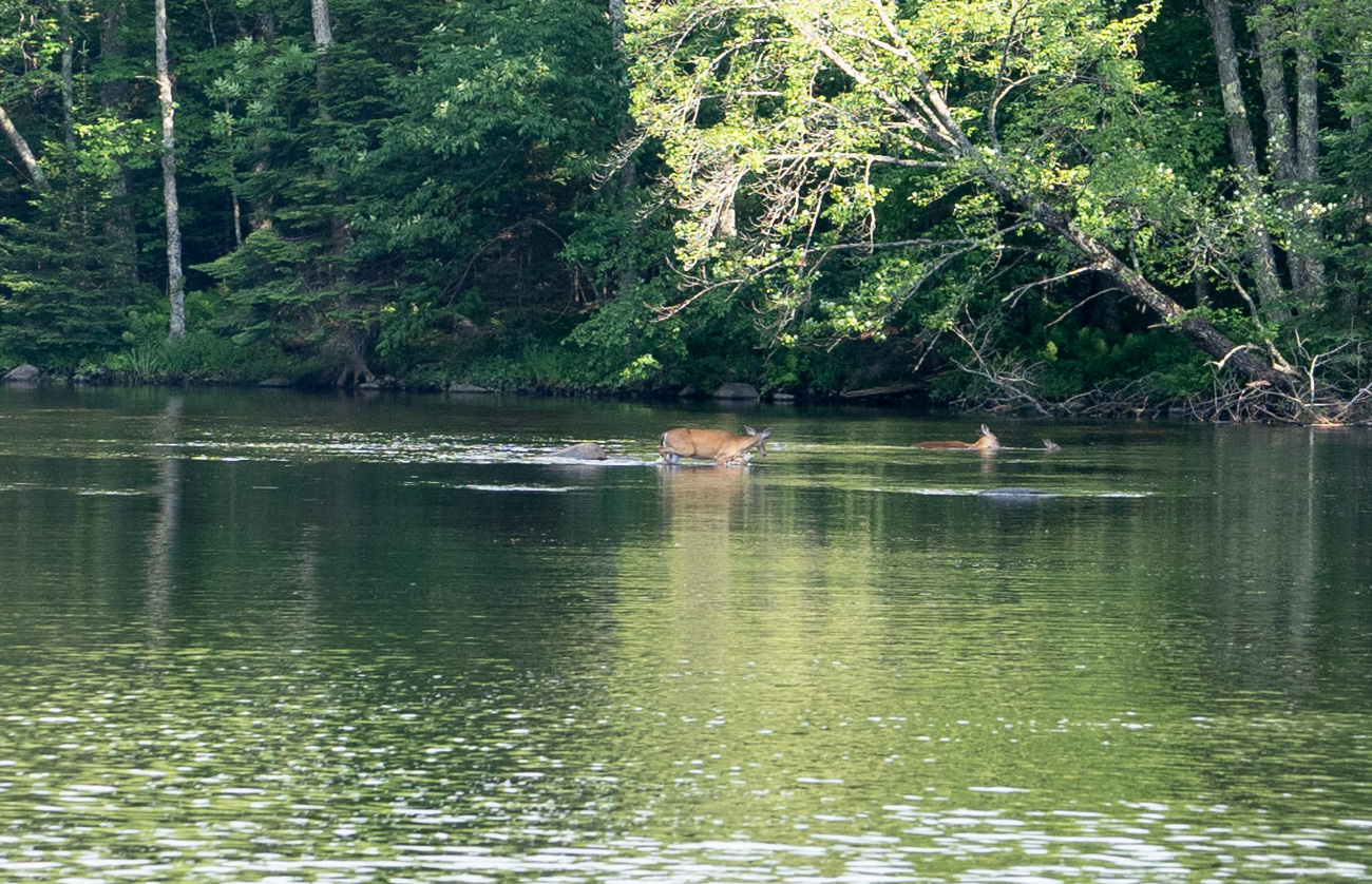
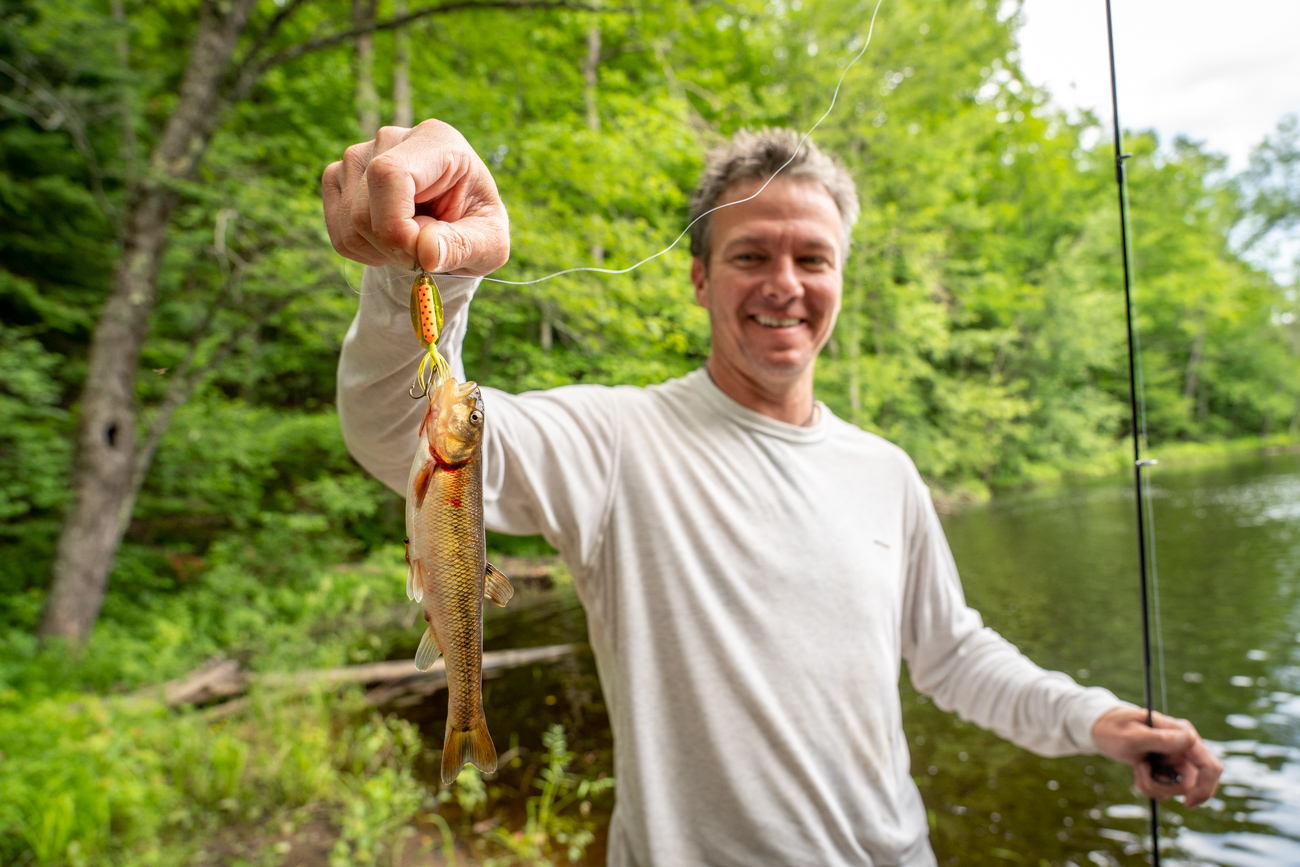
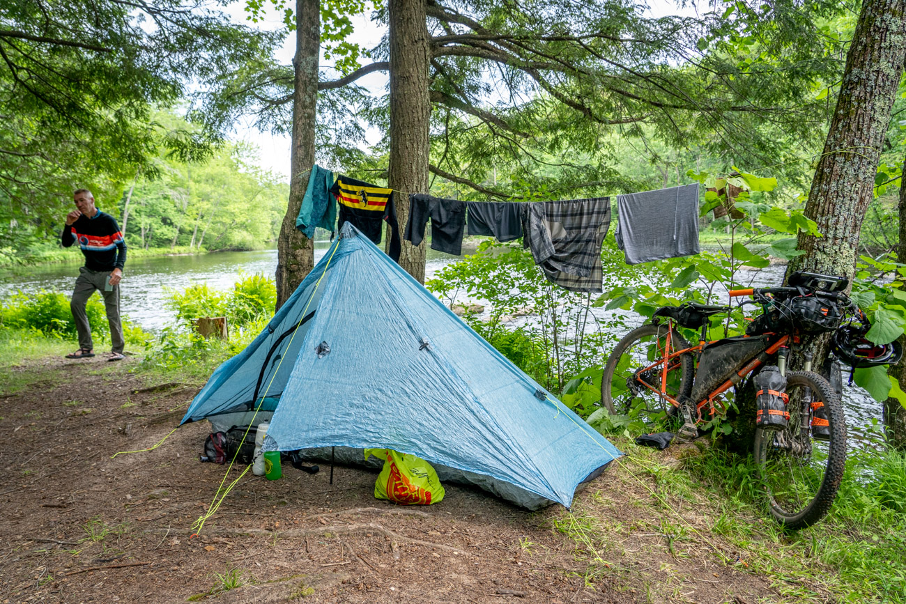
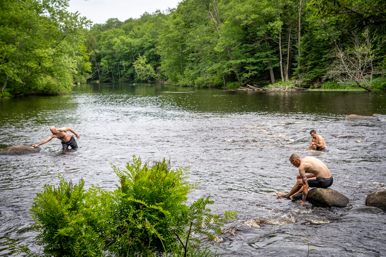
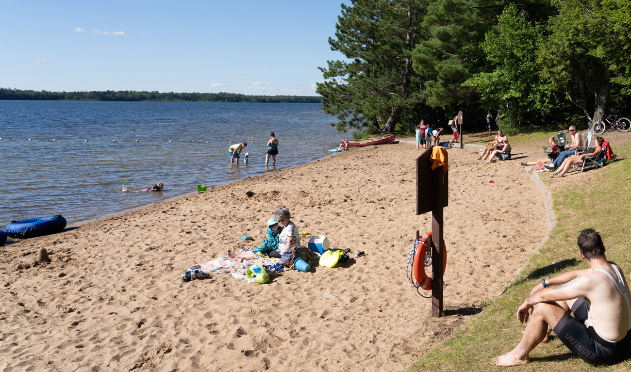
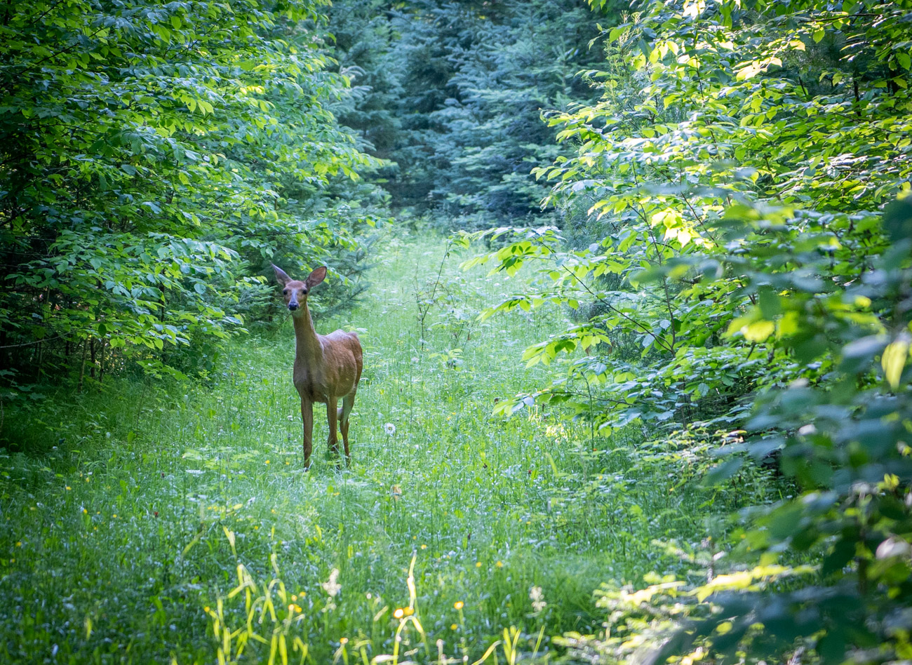
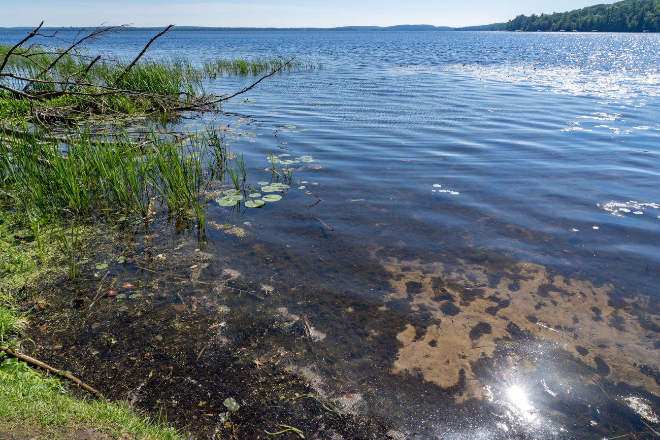
This 320 mile point-to-point route through some very remote forest, where riders may be lucky enough to see black bears, elk, bald eagles, porcupines and lots of deer. There are plenty of places to camp, but the recommended sites where we stopped are all on water, perfect for fishing and cooling off after a hot dusty day in the saddle.
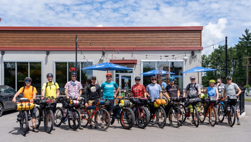
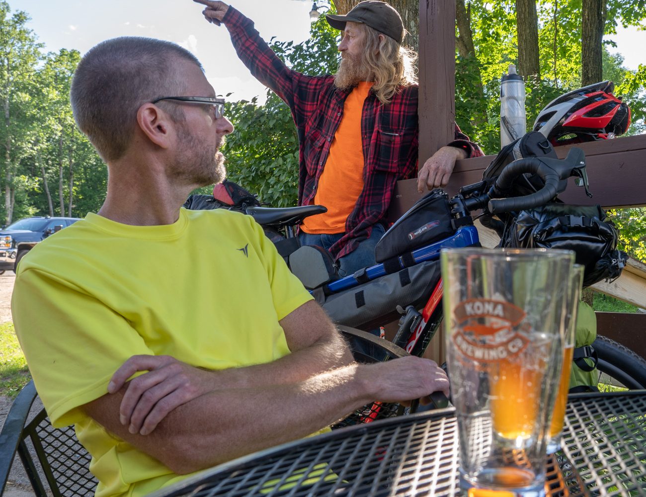
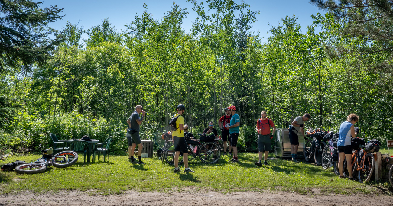
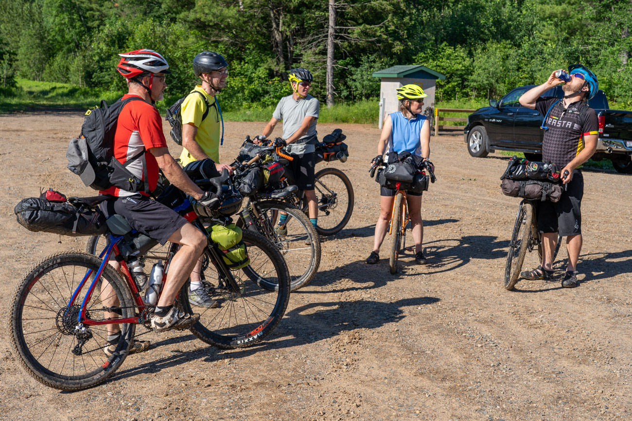
Shane was nice enough to invite me to tag along with a group of 12 friends, mostly from the Wausau area for the 2020 Tour de Nicolet trip he organized. It was great to finally go on a ride that someone else organized where all I had to do was pedal and take photos!
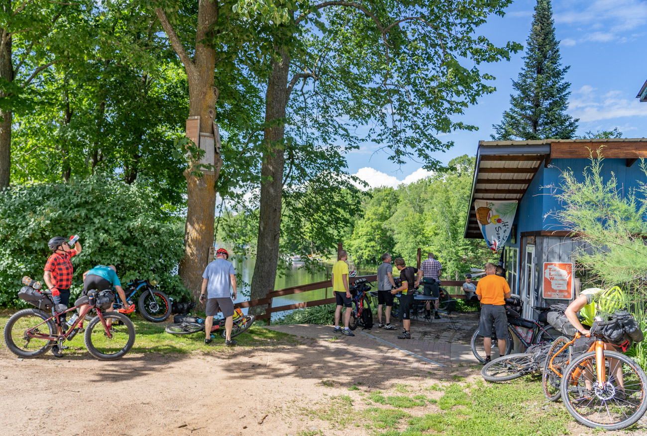
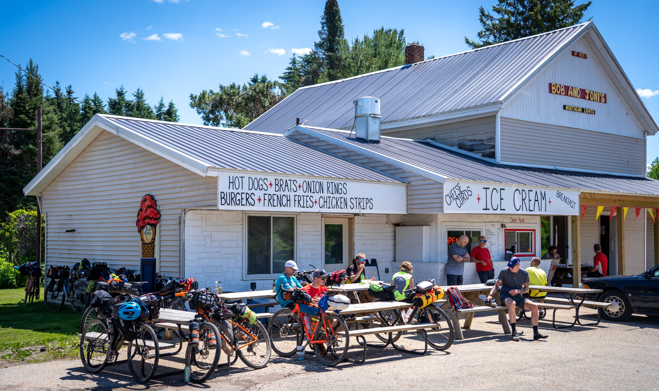
People should be able to eat at least one meal each day at any of the well-stocked gas station convenience stores, taverns and restaurants marked on this route. Of course during non-pandemic times, there are even more options to eat at restaurants and taverns.
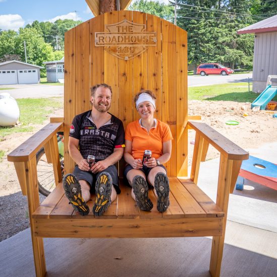
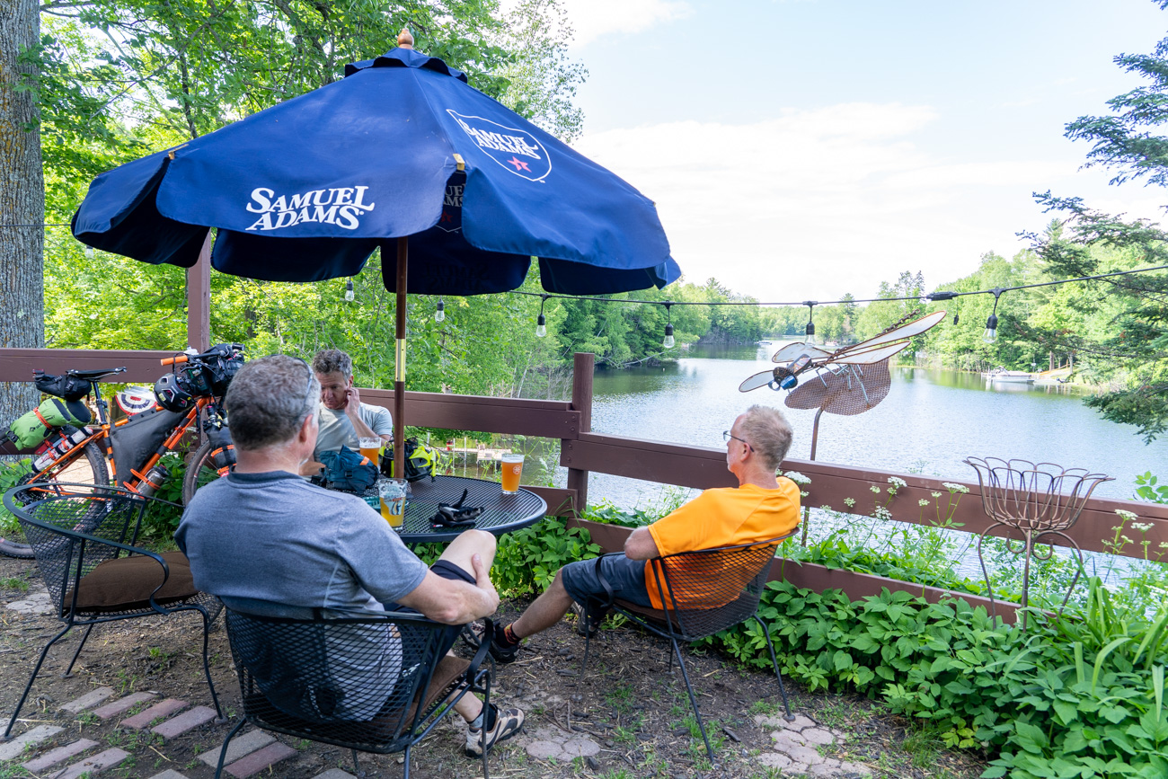
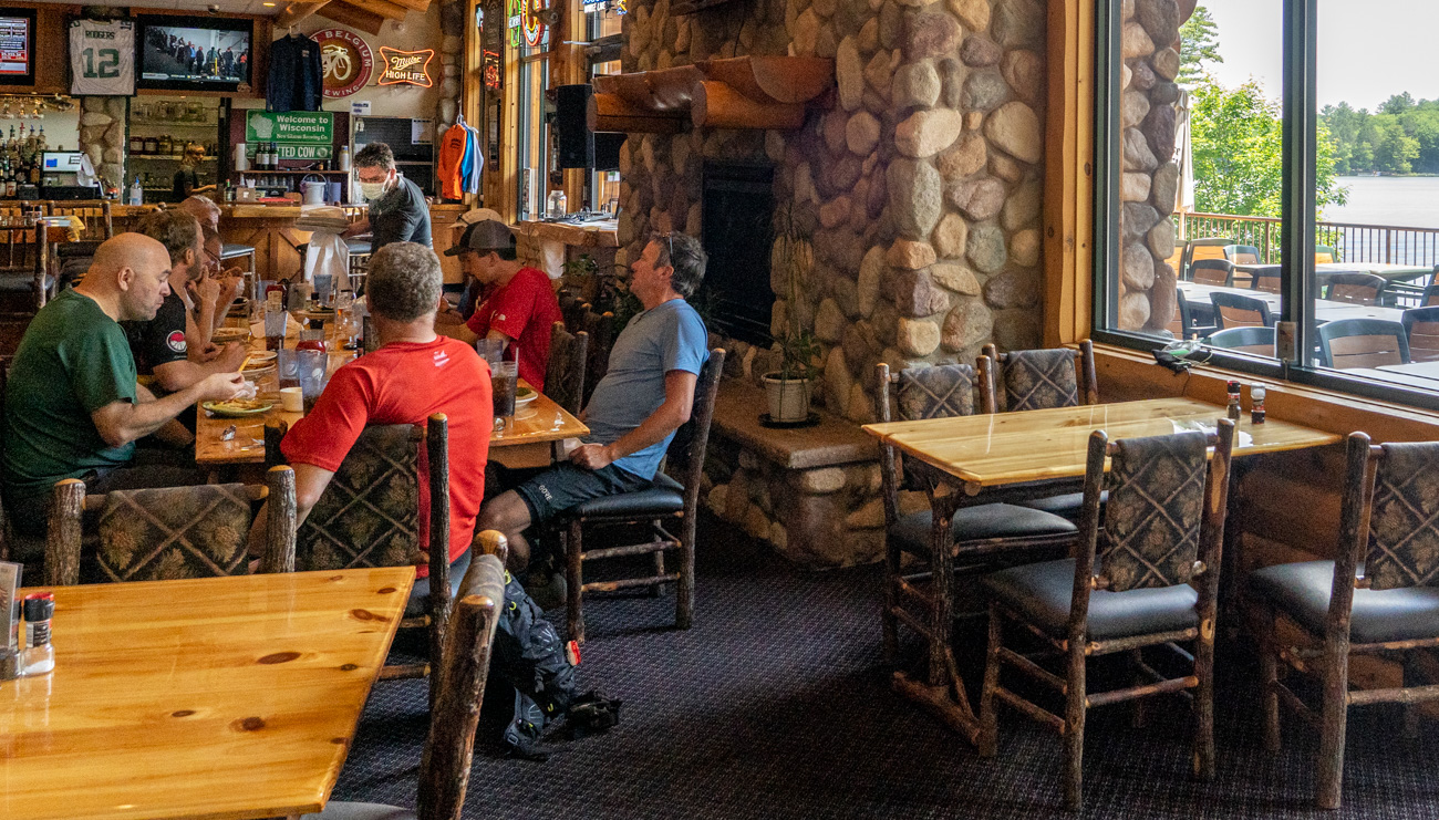
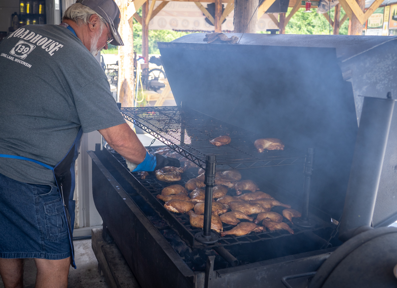
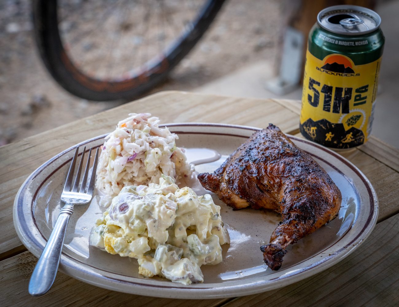
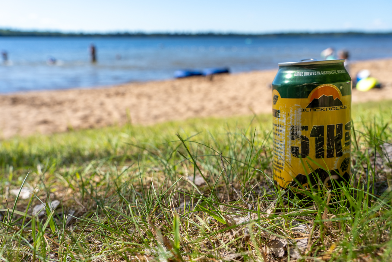
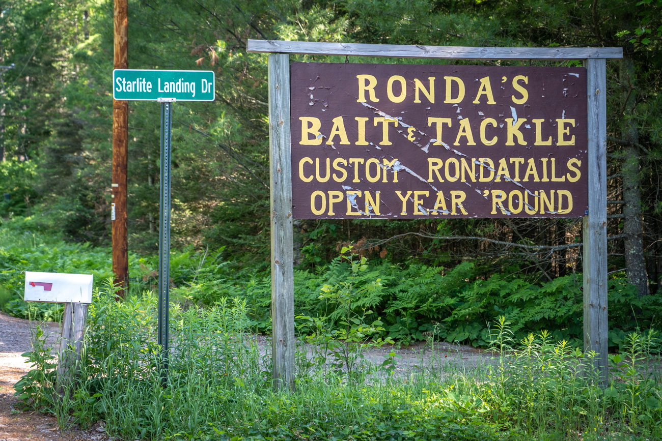
Food and beverage highlights on this trip for me were the smoked ¼ chicken with two delicious homemade sides for $8 at the Roadhouse 139 in Lakewood and the amazing craft beer selection on tap and homemade pizza at the Thirsty Bear Pub, overlooking Long Lake, about 13 miles north of Antigo. Be sure to pack at least one meal a day you can prepare at camp though.

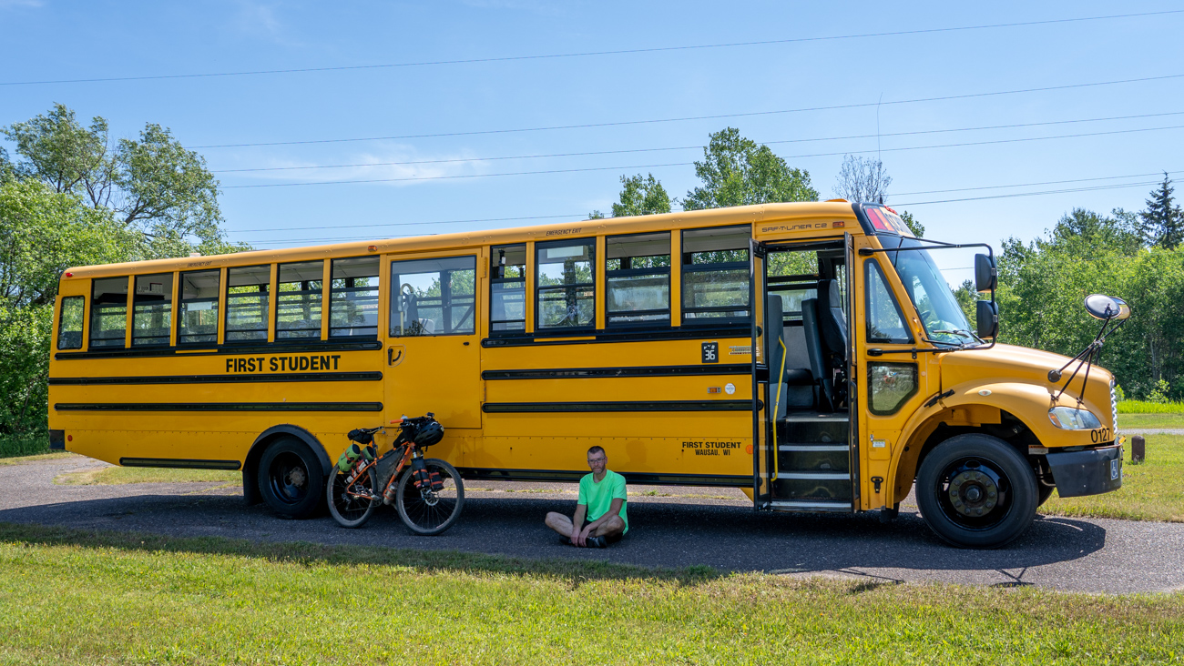
Most of the riders shuttled the trip using a rented school bus from First Student in Wausau. Shane has a commercial driver’s license, which saved us the cost of hiring a driver. The other riders either shuttled themselves or had a friend or spouse pick them up at the end.
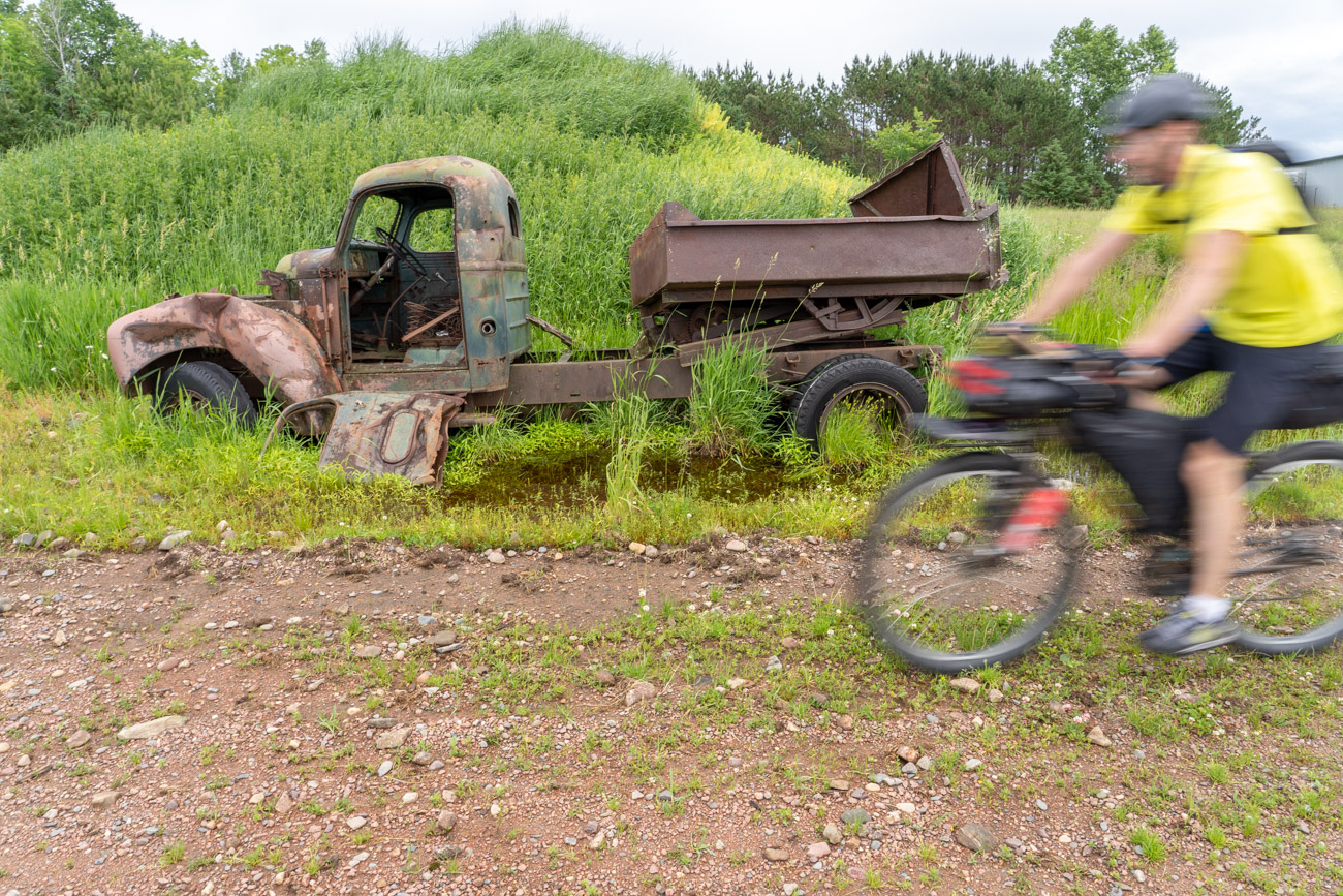
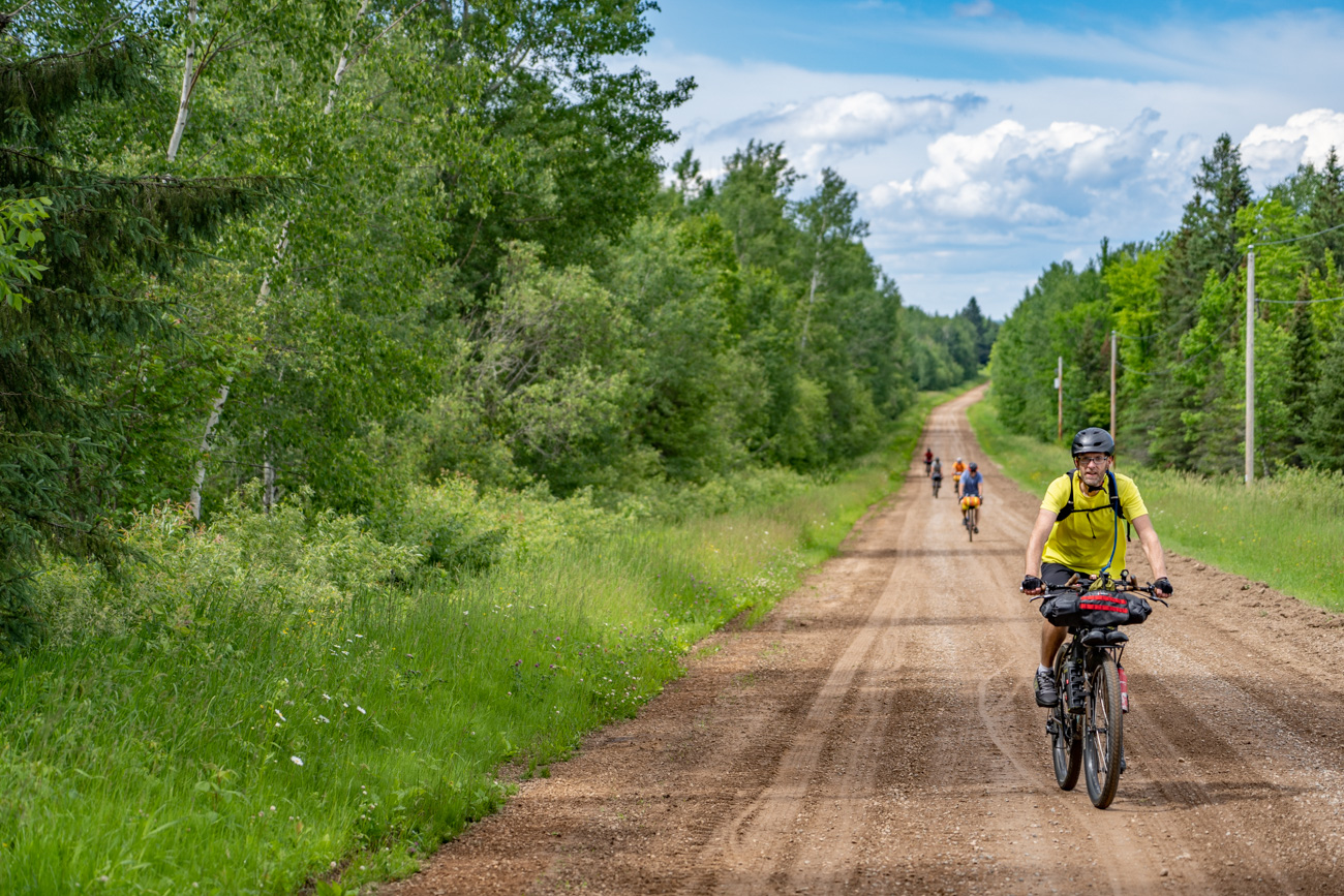
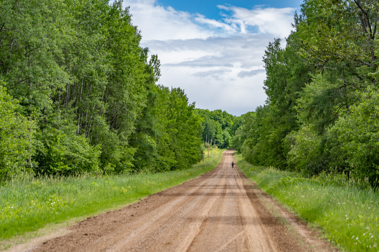
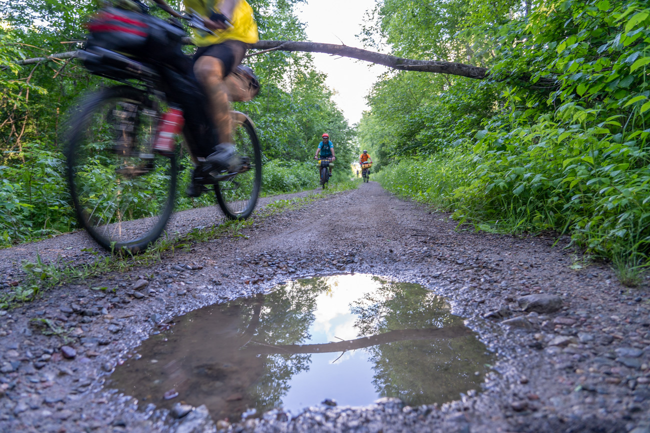
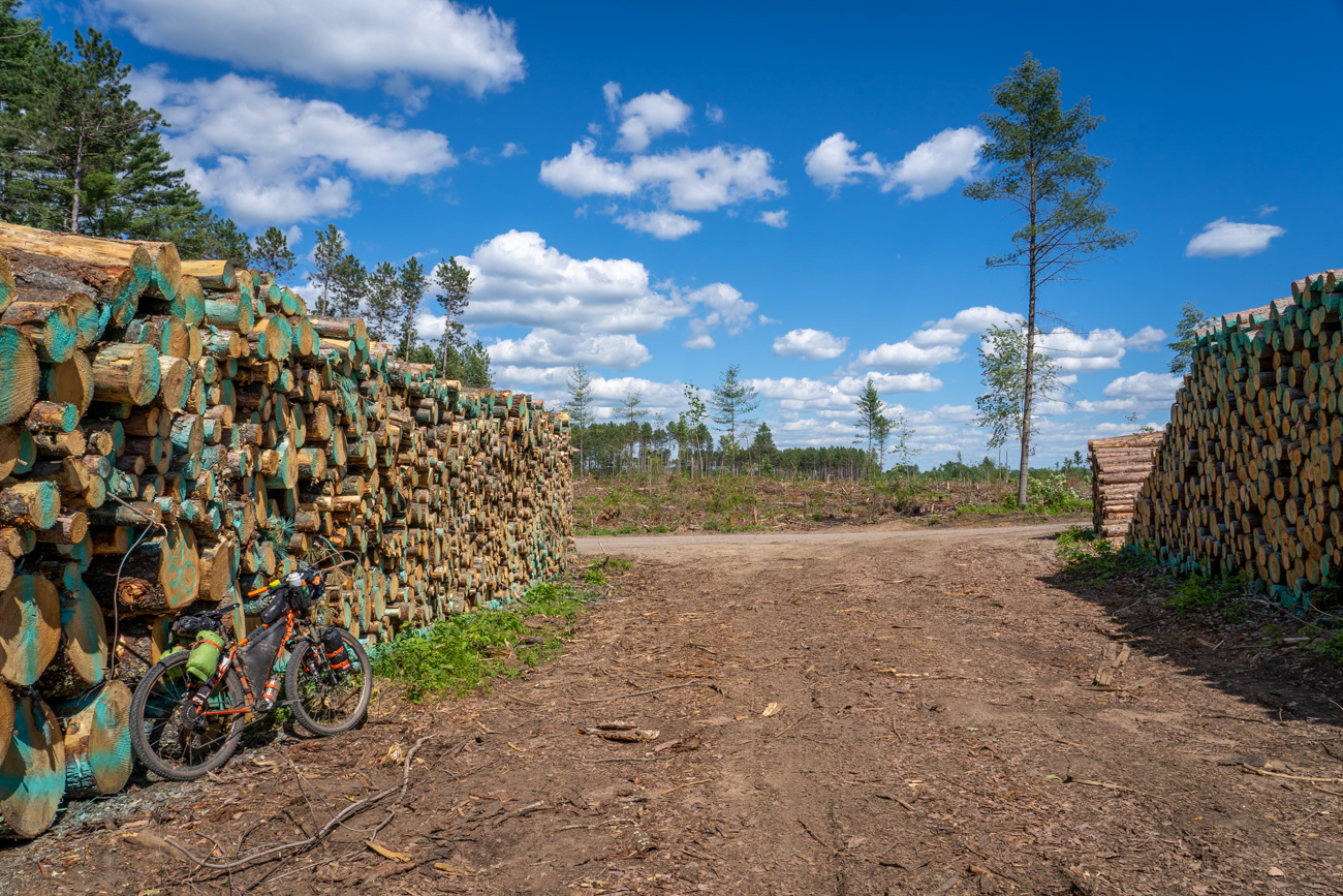
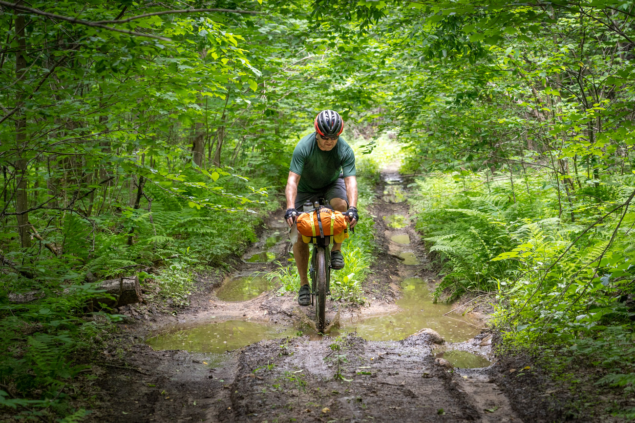
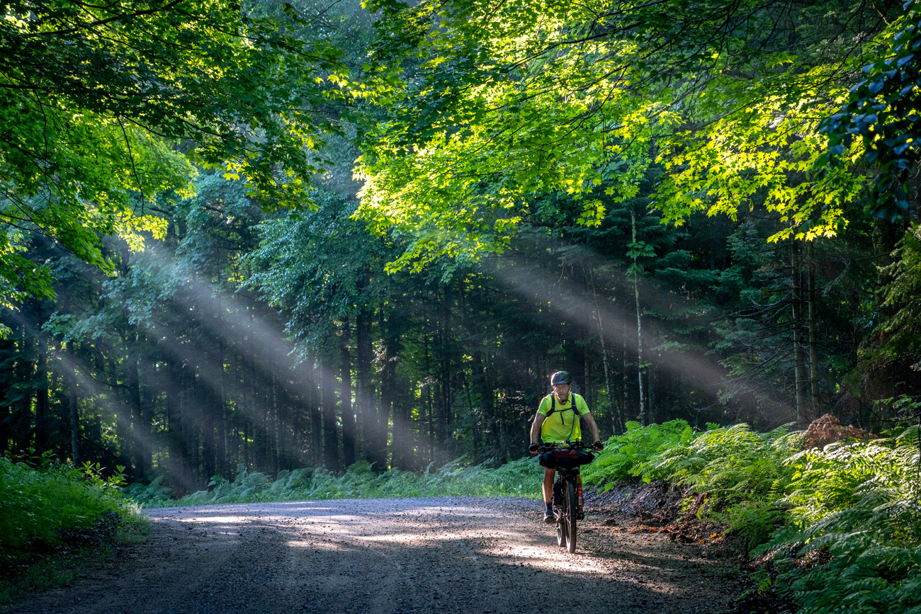
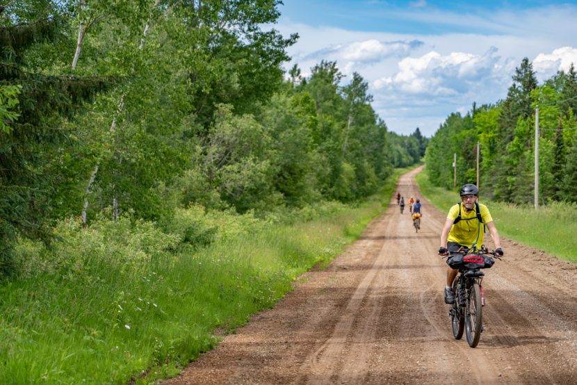
The route for this trip is mostly gravel roads. There are a few sections of two-track/ATV trail that are rutted with deep puddles, but they are relatively short. The paved sections are on scenic, low-traffic roads. While I always try to avoid paved roads on my bikepacking routes, including a little bit of pavement is almost unavoidable. And when I do end up on asphalt, I often enjoy the brief extra speed for the same effort.
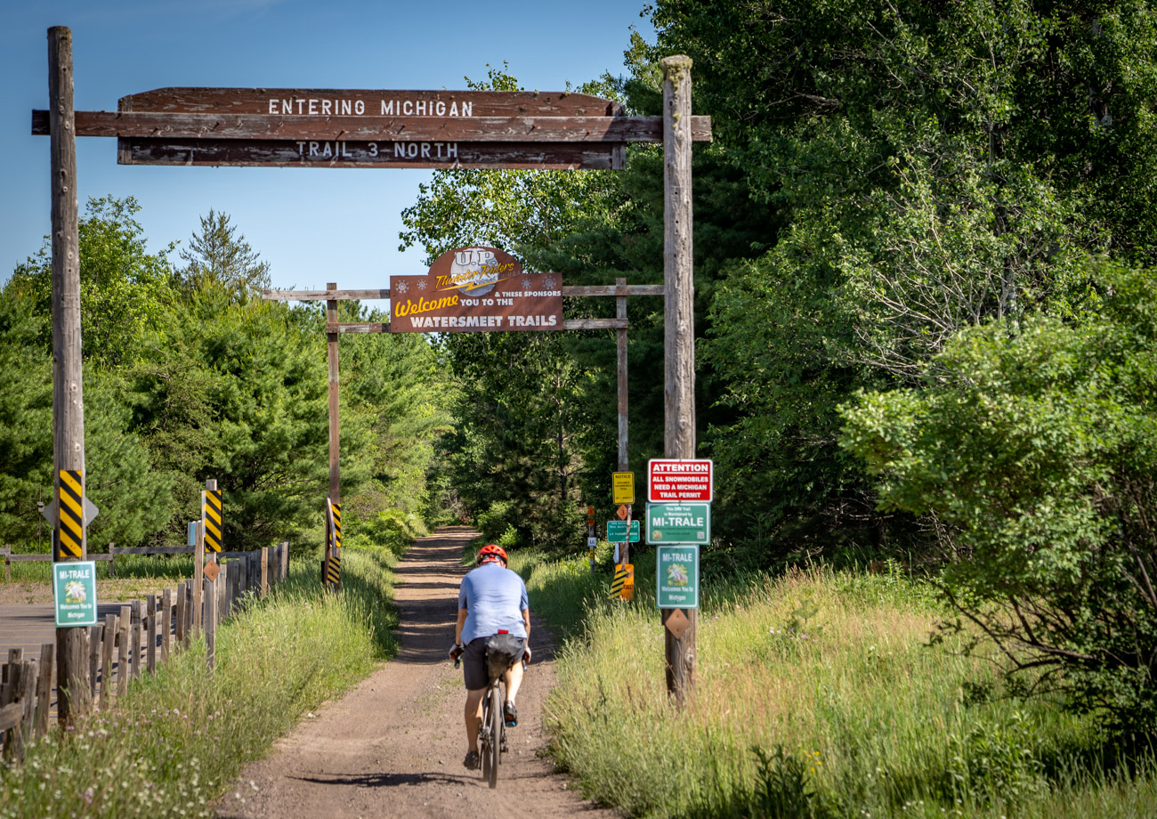
A few riders did riders on this trip did opt to ride HWY 45 into Watersmeet instead of taking the trail, which was pretty rough as it is primarily used by ATVs. There are quite a few sections of typical washboard and the gravel is pretty loose and soft. Also, HWY 45 is good pavement and has a five-foot-wide shoulder, so it is not a bad option at the end of a long ride.
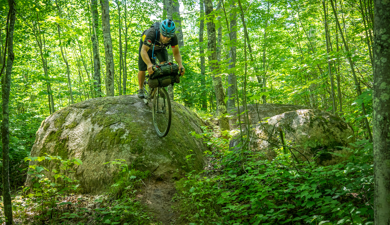
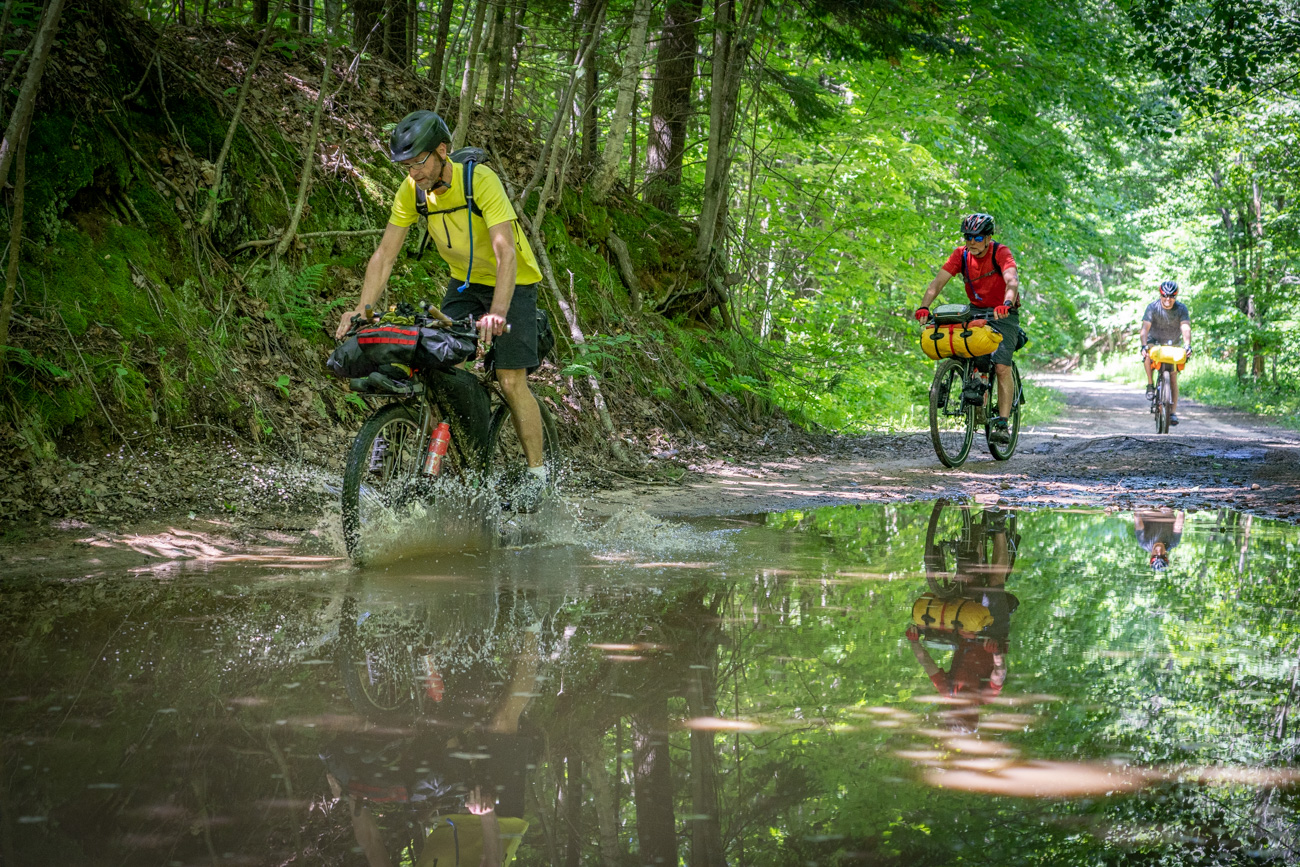
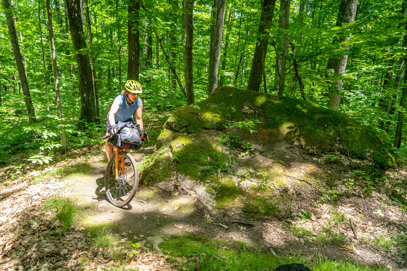
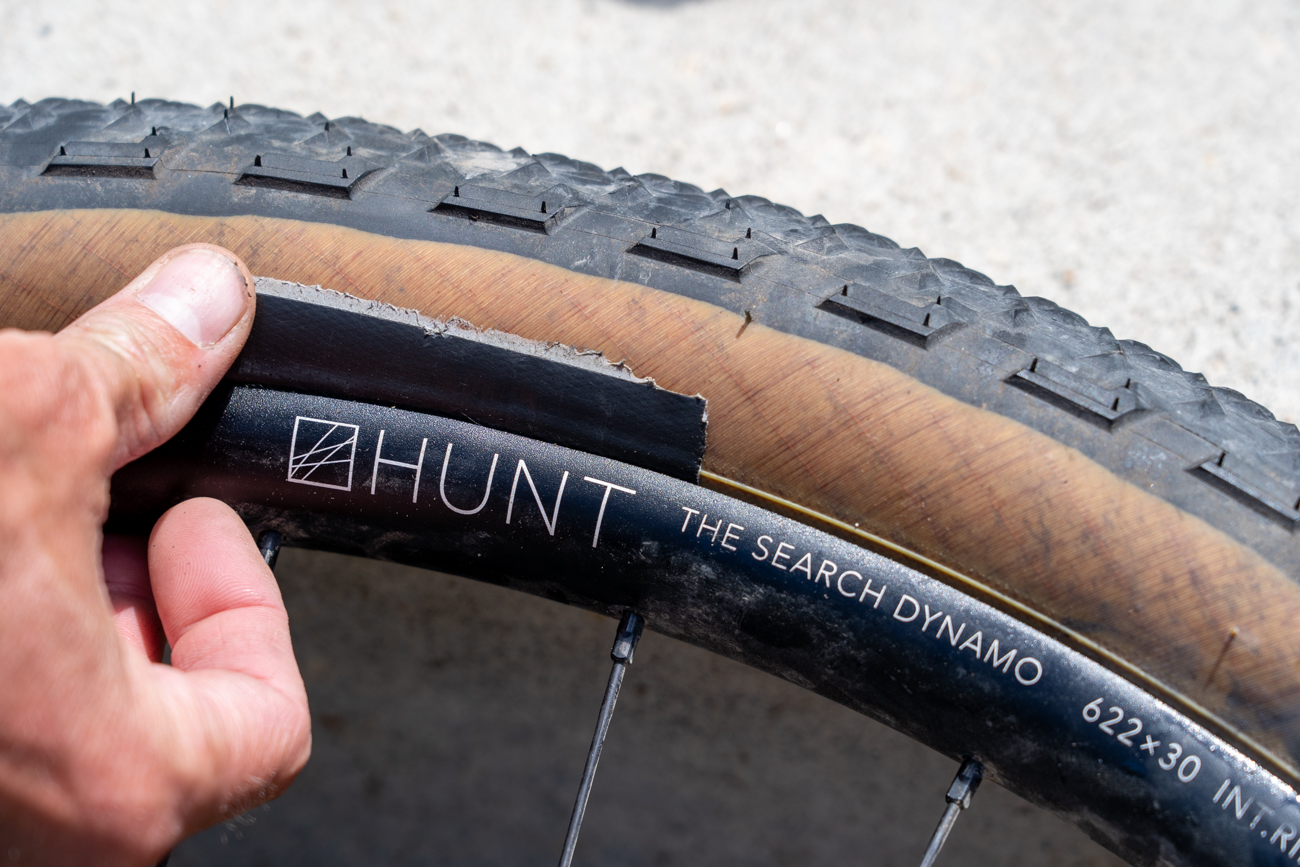
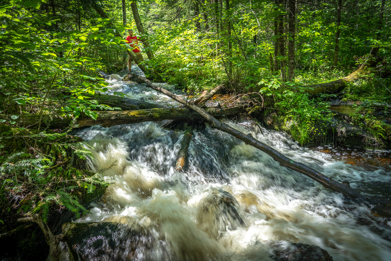
Shane’s route here also includes some nice singletrack in the Nicolet Roche and by Jack Lake. While a mountain bike is ideal for these sections, none of them are overly technical, so a gravel bike is fine. As you can see by the feature photo at the top of this story, even if you want to ride over some of the optional obstacles along the MTB sections, skinnier tires and drop bars will not stop you.
Below is a suggested itinerary for a five day trip:
- Day 1, 60 miles, Noon Gran Depart from La Taqueria 520 S 17th Ave, Wausau, WI 54401, camp at High Lake Wilderness sites or Jack Lake Campground.
- Day 2, 62 miles, 7:30am Gran Depart in front of the war memorial and flag poles at Jack Lake Campground, camp Thursday night at Bagley Rapids National Forest campground.
- Day 3, 76 miles, 7:30am Gran Depart at the BP gas station at mile 127, dispersed camping on the Peshtigo River at mile 203.
- Day 4, 72 miles, 7:30am Gran Depart from Camp Three Lake State Natural Area at mile 204, camping at Franklin Lake Recreation Area Campground.
- Day 5, 43 miles, 7:30am Gran Depart at the large hiking trail head parking lot at mile 272 on the right side of the road.
- A great mixture of gravel roads, ATV trails, and some singletrack with a river crossing.
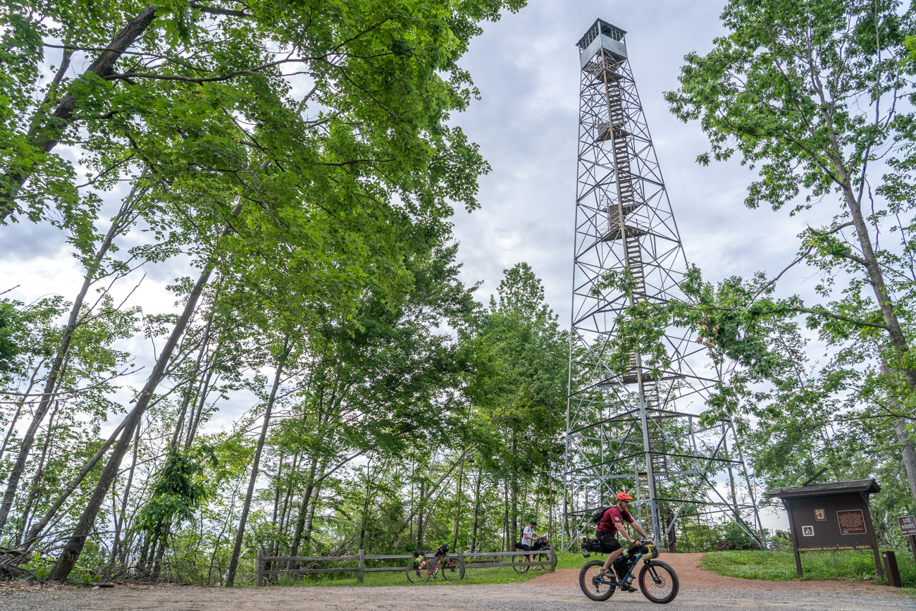
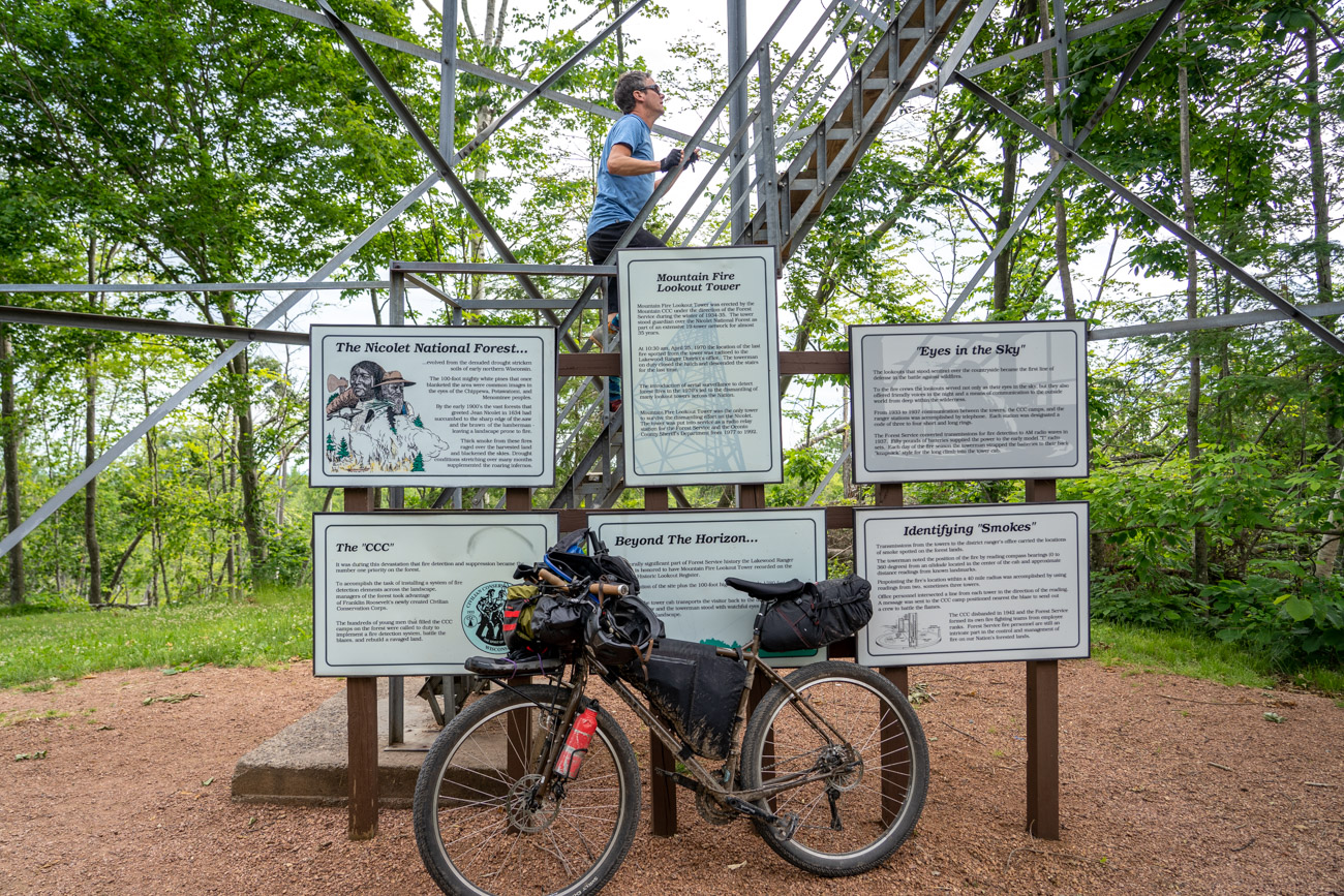
- Climb the Town of Mountain Fire Lookout Tower.
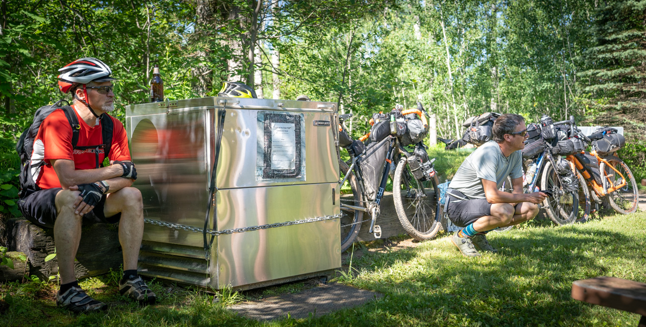
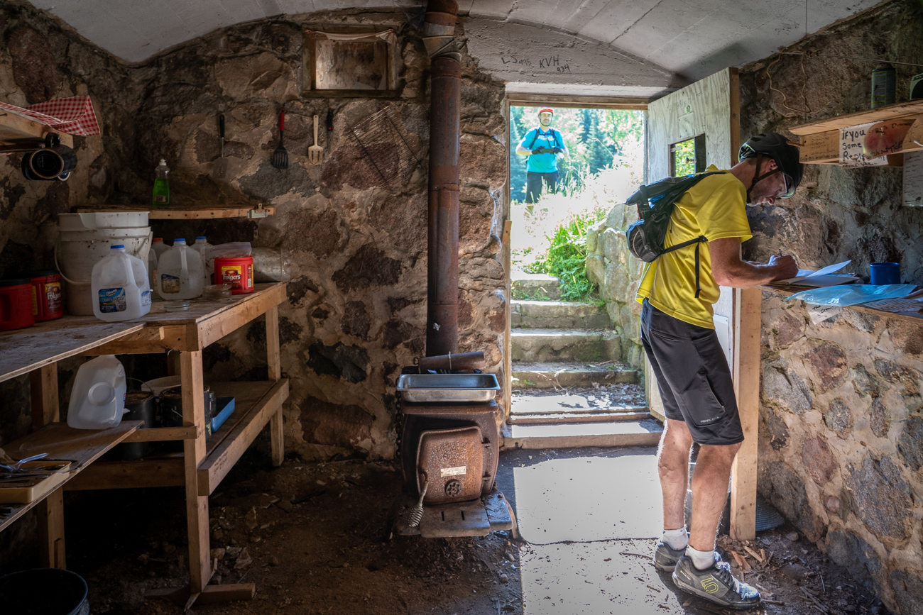
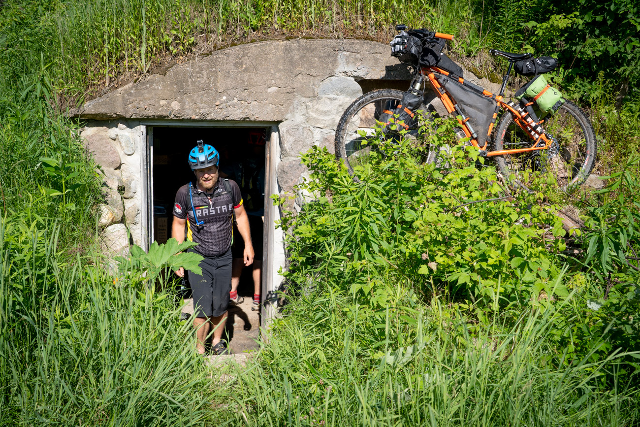
- Sign the log book in the Hillbilly Hilton underground bunker.
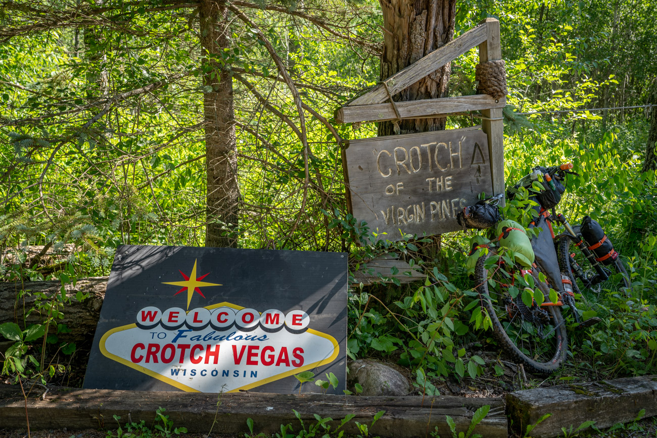
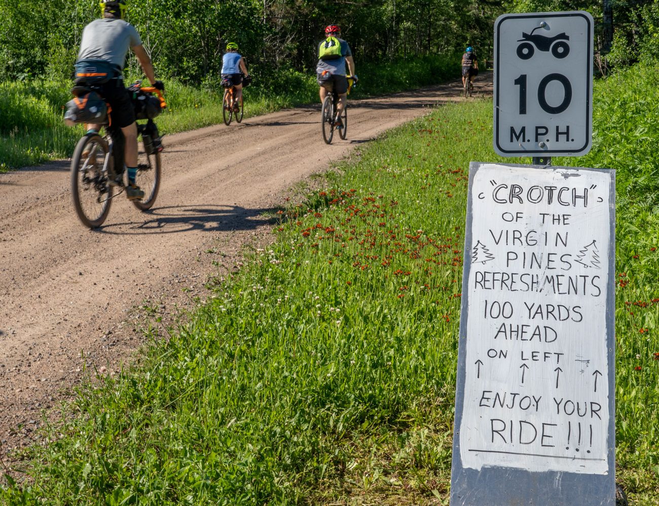
- Crotch of the Virgin Pines, AKA Crotch Vegas rest stop.
- Camping by water every night.
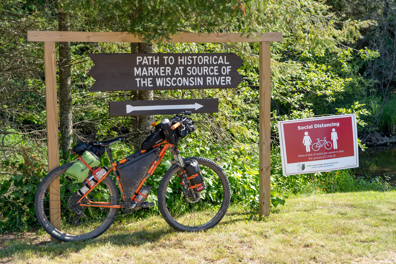
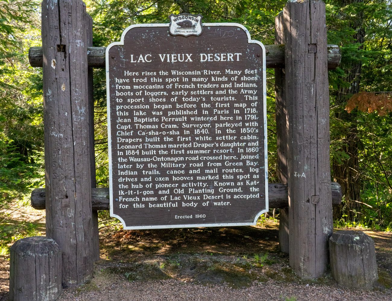
- Visit the headwaters of the Wisconsin River at Lac Vieux Desert.
- Download the route as you will not have cell service for much of the route.
- Forest Service paper maps of the ranger districts and the state bike map both show all the unimproved roads, much easier to use for detours and short cuts than the small screen on mobile devices.
- Best time to go: October when the fall colors are in full effect
- Best time to go if you want to swim: July and August, but black flies, mosquitoes and ticks are in abundance during the summer months so bring DEET.
- Highly recommended is a head net and a lightweight long sleeve shirt treated with permethrin that you can wear if the flies are bad, and to avoid ticks when riding through heavy forest.
- Do a tick check each night!
- November is also a good time to go, but Wisconsin’s nine-day rifle season for deer hunting begins the Saturday before, so avoid that or wear blaze orange when you ride.
- There are many National Forest campsites and county campsites along the route. Many of the sites are on lakes or rivers.
- Dispersed campsites are first come, no reservations.
- Free dispersed camping is allowed anywhere in the National and County forests, but you must camp 200 ft from water, be aware of current fire restrictions and follow these Leave No Trace guidelines.
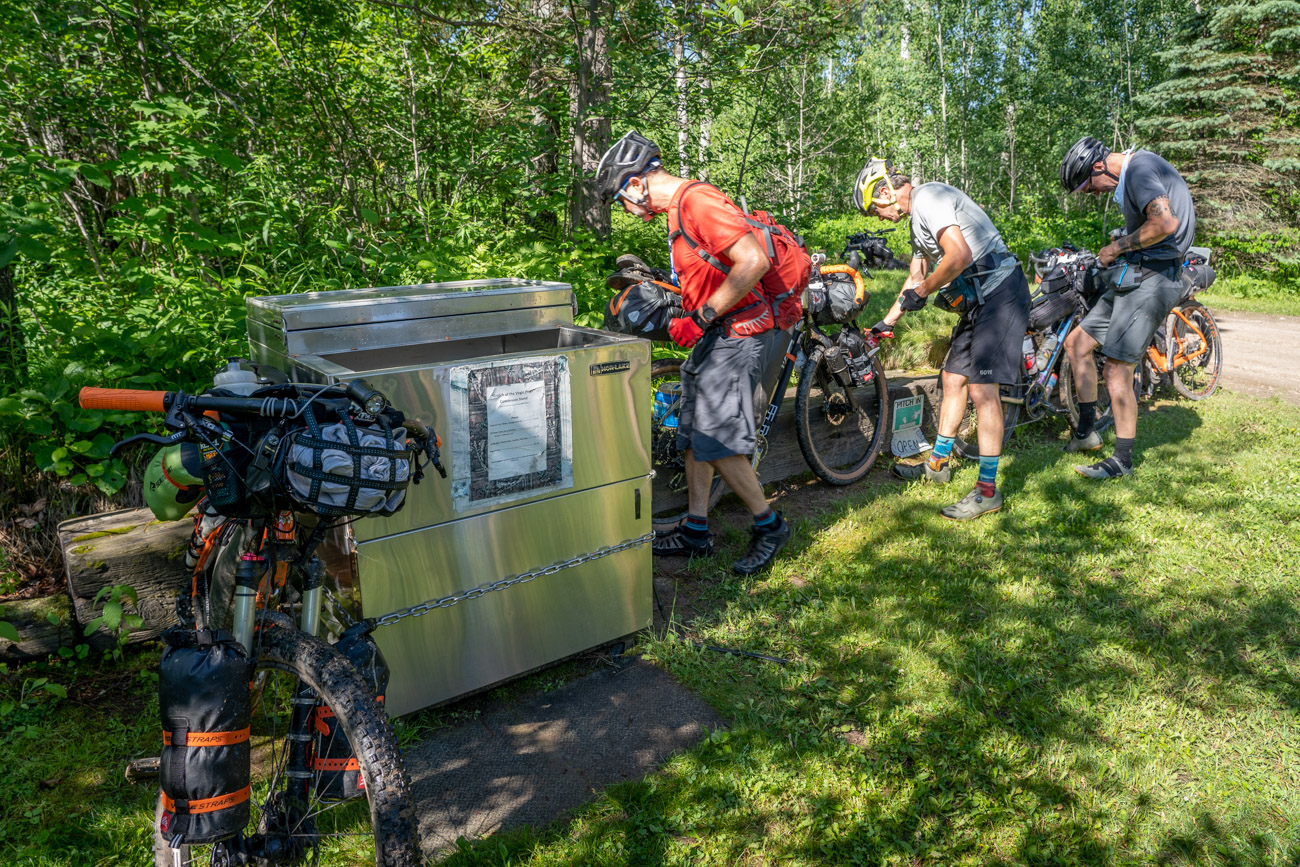
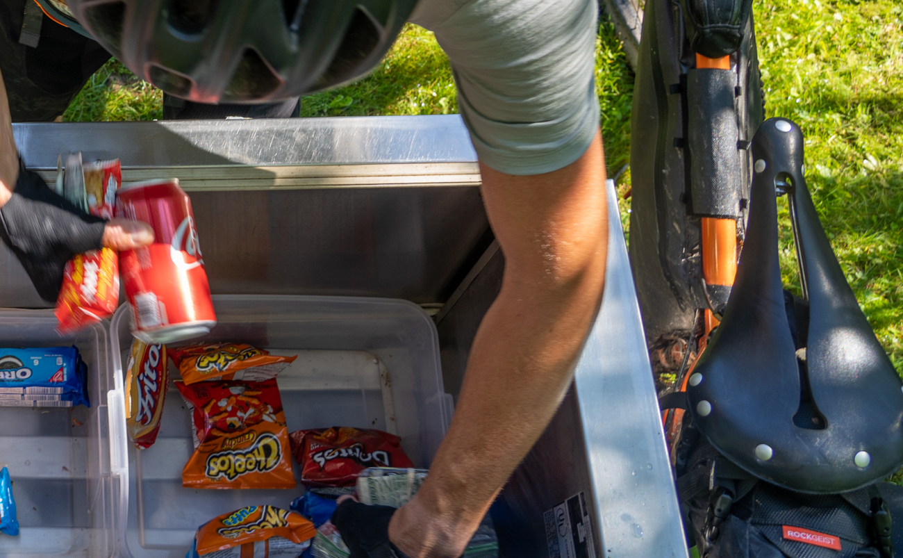
- There are numerous places to eat or resupply food stocks along the route, but not at any of the campgrounds.
- It is a good idea to pack one meal for each night, but you will be able to eat out at a tavern, restaurant or convenience store each day.
- There are many campgrounds to get potable water, but if you run out, it helps to have a filter as there are many clean rivers and streams along the route.
- The ice cold artisanal spring at Chipmunk Rapids Campground runs year round.
We recommend 5 days for this trip. Although the daily mileage is never great, most of the gravel forest roads and trails allow ATVs, which creates a loose surface difficult to maintain higher speeds.
Because of the many soft gravel trails and some singletrack, a mountain bike is the ideal choice for this route, but it can be ridden on an all road bike with 40mm tires.
There are several points were riders can bypass singletrack and rough ATV/UTV trails if desired.
-
DISTANCE: 316 miles
-
DAYS: 5
-
% UNPAVED: 74%
-
% SINGLETRACK: 4%
-
DIFFICULTY (1-10): 3
-
% RIDEABLE (TIME): 100%
-
TOTAL ASCENT: 11,724 ft
-
HIGH POINT: 1,843 ft